Hendon The Burroughs conservation area
Skip to:
Location
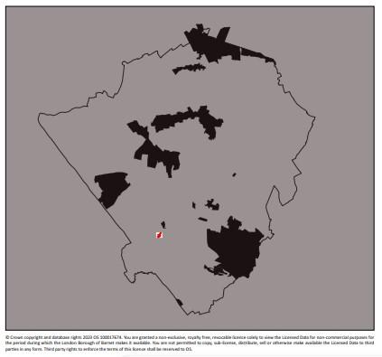
Hendon The Burroughs conservation area is in the south western part of the borough and is situated approximately 7 miles north west of Charing Cross.
The conservation area can be found in the ward of Hendon, which according to the Greater London Authority Ward breakdowns for 2008, had a population of approximately 16, 343.
The ancient manor and parish of Hendon covered a large area of well over 8,000 acres and numerous settlements. The Burroughs is linear in its form, linking Watford Way to the south with the rest of the Hendon ward further north.
Contains Ordnance Survey data © Crown copyright and database right 2023
Description
The main type of development found within Hendon The Burroughs conservation area are terraced residential dwellings, with a collection of offices, 6 shops and a former public house.
There are several statutorily listed buildings towards the southern end of the Conservation Area, with several properties, including a Victorian terrace of houses to the northern end, locally listed.
The area also includes the former fire station, now replaced by the modern station outside the Conservation Area, along with 2 carparks on the western side.
The administrative centre of Hendon lies just outside of the Conservation Area, to the north, where several significant listed buildings such as the Town Hall, Public Library and fire station are to be found.
The Burroughs acts as a busy vehicular route from Watford Way resulting in high levels of congestion, especially at peak times.
Due to the siting of Middlesex University’s campus further north along The Burroughs, the area is also a highly used route for students coming to and from the University and Hendon Central Underground Station
Documents
Hendon The Burroughs conservation area Character Appraisal
Hendon The Burroughs conservation area map

